

By Cece Siago | siagocece1@gmail.com
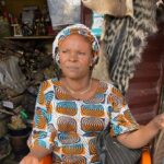
At her piece of land in Mbuwani village in Kwale County on Kenya’s South Coast, Salama Bakari listens to a local radio station announcing the weather forecast for the coming week in her region.
She had just prepared her land, waiting for the planting season to begin, which highly depends on rainfall patterns.
Unlike previous years where her family depended on moon sightings to predict the weather, erratic weather patterns have made her resort to experts who announce this through mediums such as the radio.
“Through the information, I know when to plant and how to use the little water that I harvest while making other plans for my farm,” said Salama.
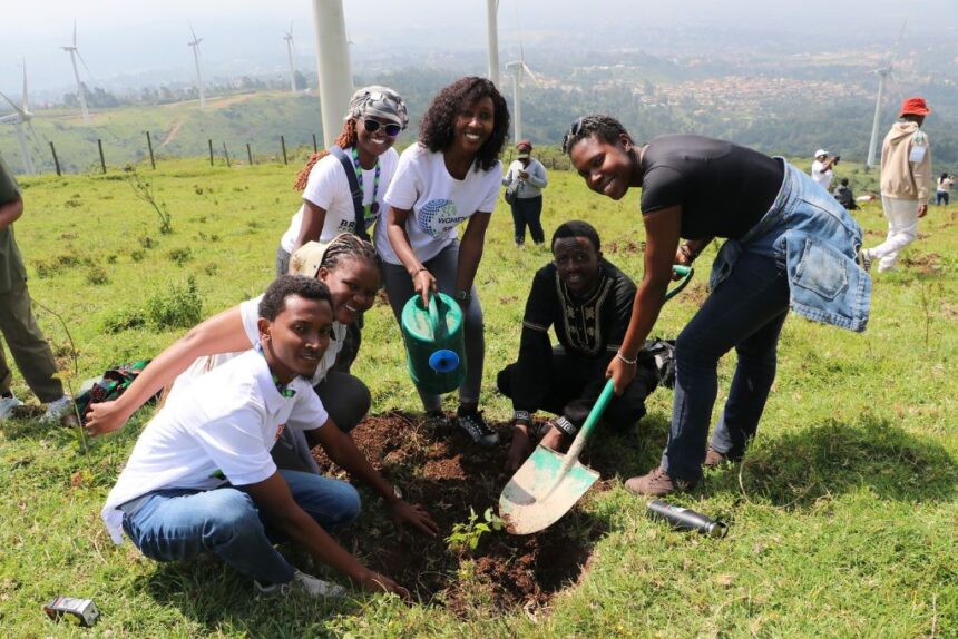
Farmers such as Salama increasingly rely on weather and environmental information generated through geospatial technologies to make decisions about planting, water use and other farm activities.
Although large volumes of environmental and Earth Observation -climate change, weather, soil testing data exist, they are often fragmented across institutions, difficult to access, and not readily translated into actionable insights for policymakers and conservation practitioners.
But the Regional Centre for Excellence (RCoE) for Biodiversity, Forests, and Seascape Ecosystems Management, hosted at the RCMRD is helping address this challenge.
The research and innovation also spans across five interconnected areas — water, biodiversity, agro ecology, ocean, and climate change.
On July 16, 2026, during the Esri User Conference, the Kenya-based centre received global recognition for its work using geospatial data to help address real-world challenges.
Esri’s Special Achievement in GIS (SAG) Award recognizes organizations demonstrating outstanding achievement in applying geospatial technology to real-world challenges
At the Regional Centre for Mapping Resources for Development (RCMRD), tech experts are developing geographic information systems (GIS) that help map important environmental factors and contribute to improving the wellbeing of people who depend on nature every day.
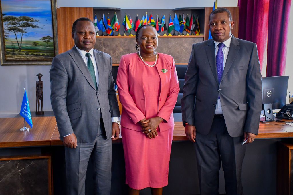
Speaking after receiving the 2026 Award, RCMRD Geospatial Data and Technologies Manager Ngugi Kimani said their focus is on people who depend on nature every day improving community wellbeing.
Among the maps submitted for the award include one showing the threatened species in Eastern and Southern Africa region, specifically the critically endangered species, endangered species, and the vulnerable species.
The other map highlighted transboundary protected areas across the East African Community (EAC), showcasing shared ecosystems that require collaborative conservation.
It aims to support biodiversity protection, wildlife connectivity, and regional cooperation by identifying critical ecological corridors and priority areas for conservation planning, environmental monitoring, and informed decision-making.
“This aligns with the Kunming-Montreal Global Biodiversity Framework calls for conserving at least 30 per cent of terrestrial, inland water, marine and coastal areas by 2030. Without integrated systems, tools, and technical capacity like these, countries face limitations in effectively tracking progress and making decisions to achieve such targets,” he said
The Regional Centre for Excellence was established in 2024 and funded by the European Union to bridge the gap between data and decision-making, strengthening countries’ ability to monitor, plan and manage natural resources.
Since 1998, the SAG Award has been given to organizations each year for their application of Geographic Information Systems (GIS) to reveal patterns and trends from data to address pressing challenges across industries.
“Each year, users demonstrate how crucial mapping technology is for our connected world, where almost every critical problem we face has a geographic component,” said Esri president and founder Jack Dangermond.
Countries across the African region continue to face challenges in monitoring biodiversity, managing protected and conserved areas, and reporting progress toward global commitments.
The centre’s work is helping bridge these gaps by turning complex environmental data into information that can support decision-making
For communities whose livelihoods depend on healthy ecosystems, water, forests and predictable environmental conditions, the value of this work goes beyond maps. Better information can help governments and conservation practitioners make better decisions about the places, resources and ecosystems on which people depend.
©MESHA Features 2026