

Milliam Murigi I milliammurigi@gmail.com
For generations, farmers have relied on experience, advice from neighbours and doubtful non-scientific methods to determine crops to grow on their land.
But scientists are now turning to digital technology to give farmers more precise information about the soils beneath their feet and help them make better decisions on what to plant.
The Kenya Agricultural and Livestock Research Organization (KALRO) is developing digital soil maps that could allow users to search for a specific location and access information on its soil characteristics, fertility and the crops that are best suited to the area.
Dr. Caroline Kundu, Centre Director of KALRO’s Food Crops Research Centre in Kabete, Nairobi, said the initiative is intended to make soil information more accessible and reduce reliance on trial and error.
“We don’t want people to do it through guess work, the trial and error way. So we want people to know which type of soil is good for which type of crop,” she said.
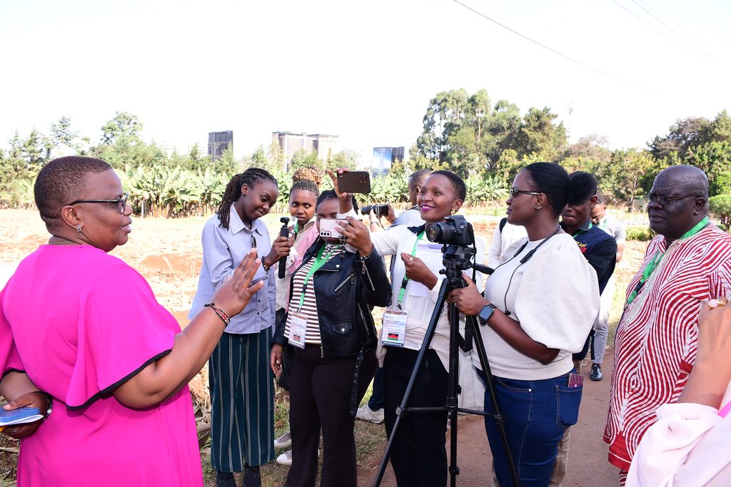
Dr Kundu was addressing newsrooms leads from five African countries who had paid a visit to the centre after concluding a 2 day meeting in Nairobi organised by the Media for Environment, Science, Health and Agriculture (MESHA) and Solutions Journalism Network (SJN) under the Climate Solutions Beacon Newsroom Initiative.
The maps are being developed from soil samples collected from different parts of the country. Already about 77,000 samples have been collected under a World Bank-funded project, although the data does not yet represent every part of the country or all categories of farmers because the initial project focused largely on food-growing areas.
Dr Kennedy Were, a research scientist at KALRO’s Kenya Soil Survey section, told the senior editors that soil samples are taken from the field and analysed in laboratories for different soil fertility parameters. The results are then linked to geographical coordinates, including GPS locations, before being entered into a database.
Scientists can then use artificial intelligence and machine learning methods, together with geographic information systems (GIS), to turn the data into digital soil products.
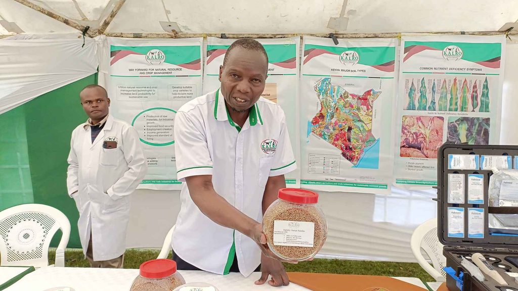
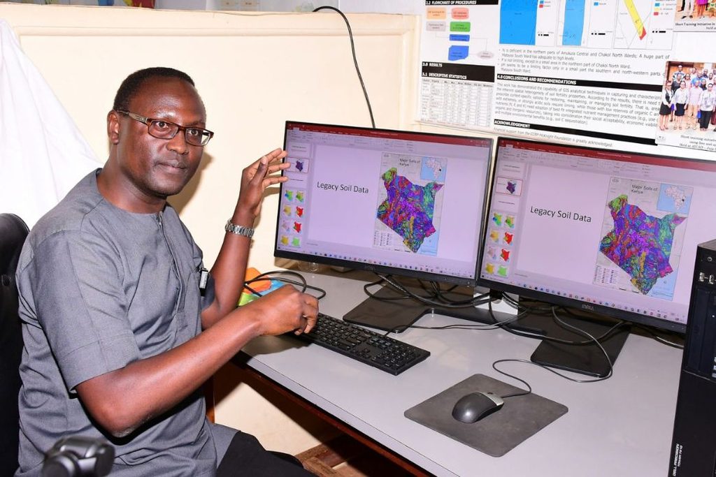
“The resulting maps show the distribution of Kenya’s different soil types as well as fertility characteristics such as soil pH, nitrogen and organic carbon,” Dr Were said.
The information is then combined with climate and terrain data, including rainfall, temperature, slope, soil depth, texture and drainage, to produce crop-suitability maps. These maps show areas where particular crops are highly, moderately or poorly suited to production.
So far KALRO has crop suitability information for more than 50 varieties, including maize, wheat, sorghum, common beans and cowpeas. The system can also be used to develop suitability maps for additional crops once scientists have information about their ecological requirements.
However, the researchers acknowledge that soil information alone is not enough. Countries have different agro-ecological zones, meaning crops and varieties that perform well in one region may not necessarily perform equally well elsewhere.
“Soil information therefore needs to be considered alongside climate information, particularly as farmers face increasingly variable weather and changing rainfall patterns,” said Dr. Kundu.
According to Dr Were, current maps displayed by KALRO were largely developed using legacy data. The new data will be used to update existing maps, improve their detail and reliability and develop additional crop-suitability products.
The information could also help identify areas affected by land degradation, including erosion and nutrient depletion. The researchers hope to eventually bring the different datasets together through a national soil information system that can be accessed by different stakeholders.
“The system is intended to be open access, allowing researchers and other users to access soil information for sustainable land management, land-use planning and climate-related work,” he said.
The longer-term ambition is to take the information beyond maps and make it available through digital decision-support tools. KALRO is looking at developing a mobile application that could allow farmers to zero in on their location and see information on soil and climatic conditions, with the possibility of eventually providing fertiliser recommendations based on those characteristics.
Such a system could make soil information more useful at farm level, but putting the data online does not automatically mean farmers will be able to use it. Dr. Kundu acknowledged that farmers without smartphones, reliable internet connectivity or sufficient digital skills could be left behind.
“Language is another challenge. Scientific information may be accurate, but farmers need to understand it before they can act on it. So scientists need to work with communication specialists to translate technical information into language that farmers can easily understand,” added Dr. Kundu.
She cited fertiliser recommendations as an example, noting that telling a farmer to apply a certain quantity per hectare may not be meaningful if the farmer does not understand the size of a hectare. The same challenge applies to digital agricultural services.
According to her, for the maps to influence decisions in the field, they will need to be linked to agricultural advisory services capable of helping farmers interpret the information and translate it into practical action.
©MESHA Features 2026